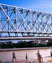
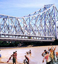
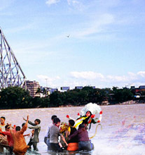
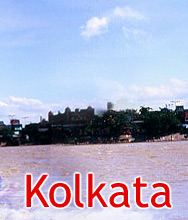
Given here is the map of the city of Kolkata in West Bengal, India. Go through it and explore Calcutta in detail.

Kolkata, earlier known as Calcutta, is the capital of West Bengal. It is located in the eastern block of India, in the Ganges Delta, at an elevation ranging between 5 ft and 30 ft. It stretches single dimensionally, along the Hooghly River, in the north-south direction. Due to its strategic location, the city has always been a gate of foreign entry in India. It's exact location on the globe is at 22°33'N 88°20'E / 22.55°N 88.333°E / 22.55; 88.333. Spread over an area of about 187.33 sq km, this city is full of places worth visiting. In case you are also planning to travel to Kolkata, make sure to keep a map of city along with you, so that you can easily locate the sites of your supposed visit. Given here is the map of the city, just for you!